Sensor Systems Provider and Integrator
Improve Data Quality, Increase Reliability, Reduce Risk
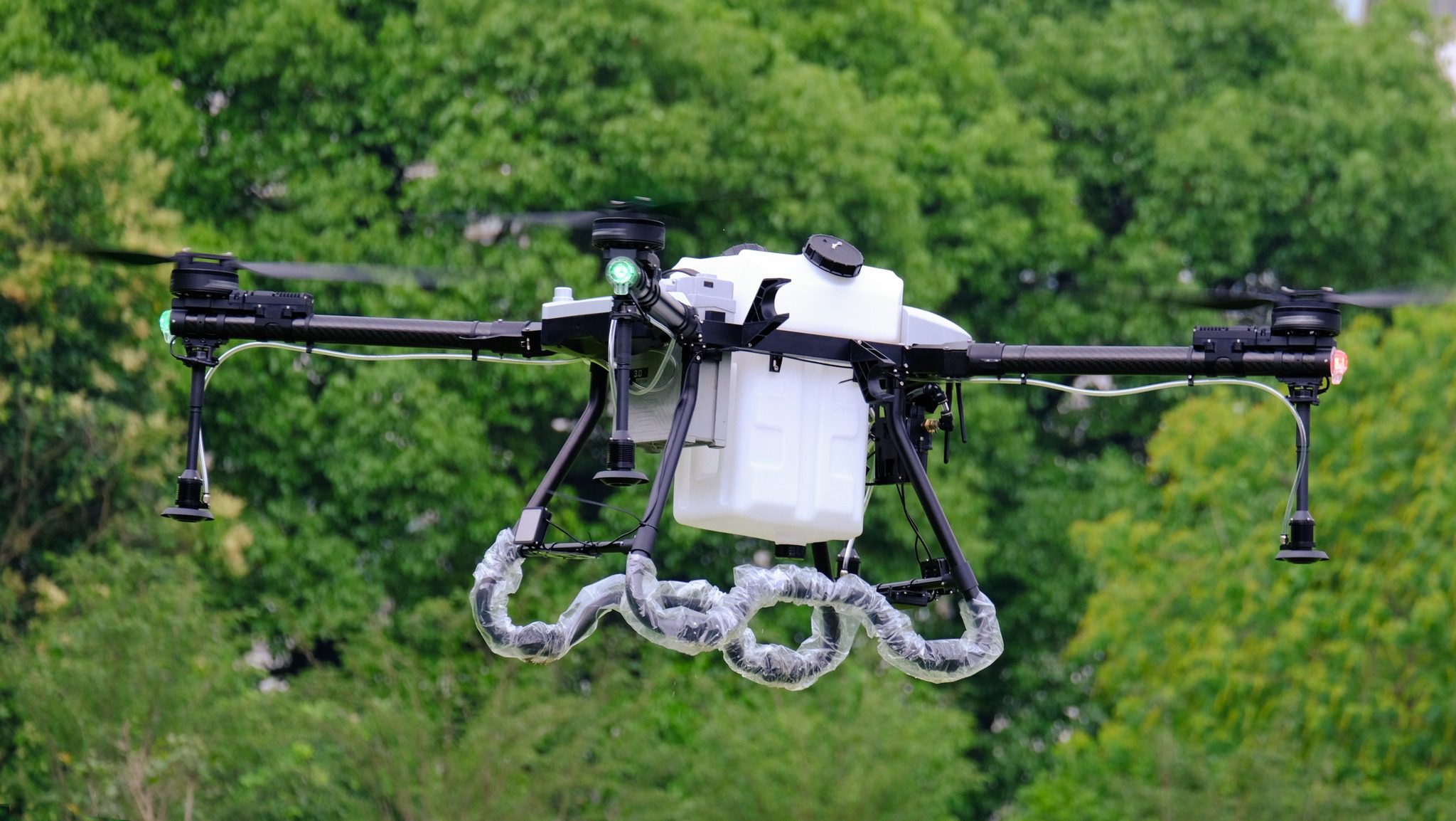
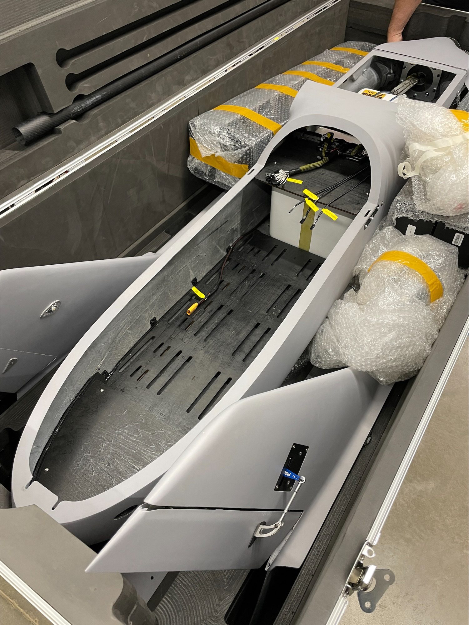
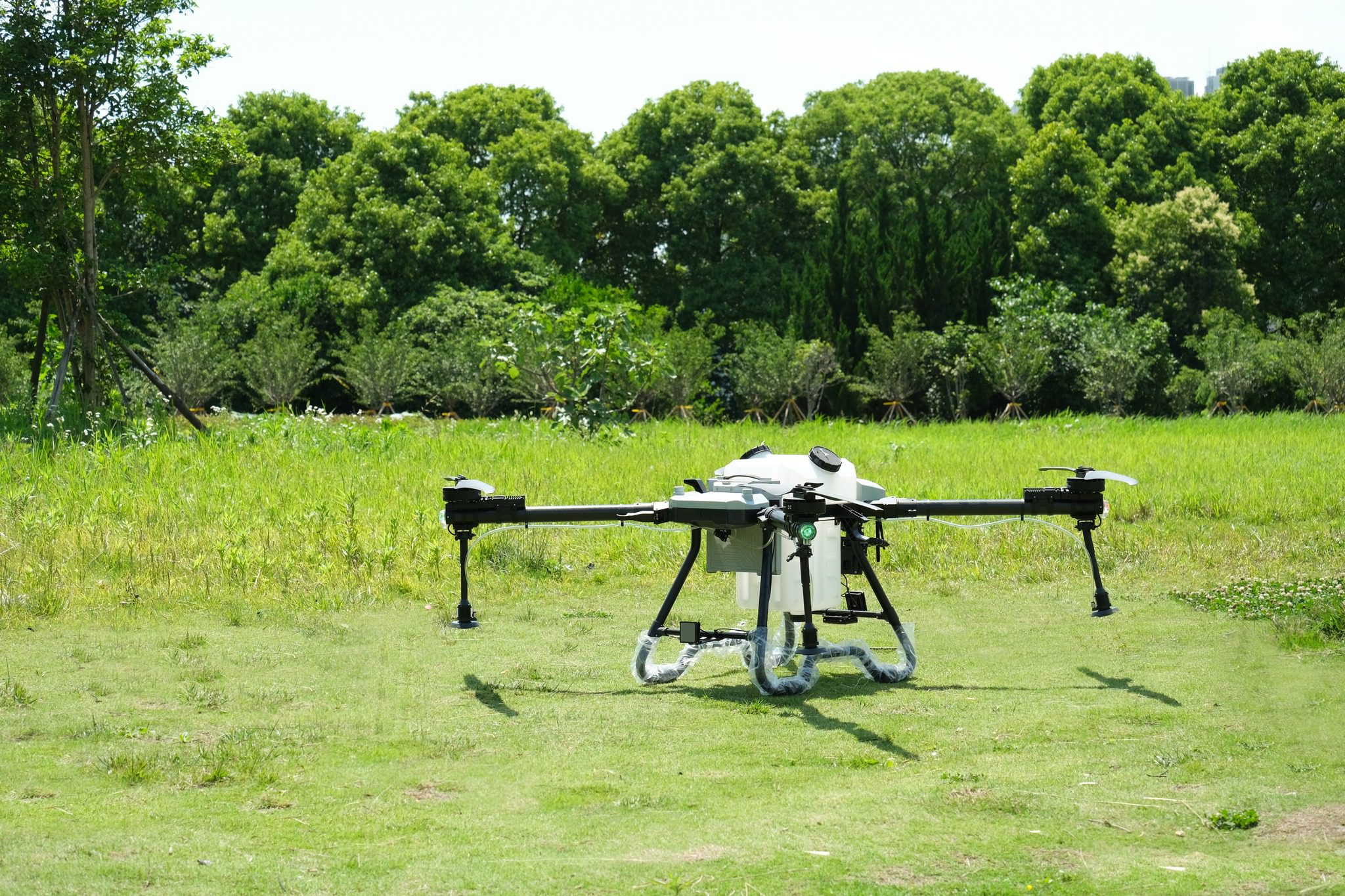
Spectral Systems Integration’s team of proven professionals works together with our clients to ensure both hardware and software are integrated efficiently to meet the client’s needs. We offer testing & evaluation of infrared chemical, radiological, photometric, and mapping configurations. We perform these services in both the lab and field based on operational specifications including specific detector types, array geometries, reduced spectral noise, improved signal-to-noise performance, maximum detector responsivity, and minimum inter-pixel variability for detector arrays.
Support Multi-Role Concepts
- Atmospheric Characterization
- Emergency Response
- Homeland Security – Special Events/Large Venues
- Removal & Remedial Characterizations
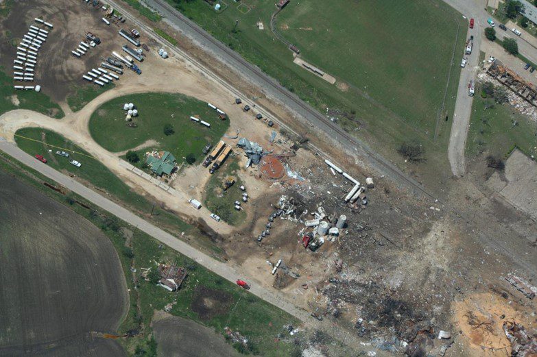
Integration role includes sensors as well as data collection, processing, and analysis to support emergency response, homeland security events, geographical/radiological characterization of removal/remedial sites, and atmospheric characterization.
Expanded Role Multi-Sensor Integration
Integration has expanded to include an ever-increasing visual imagery requirement, additional sensors, data collection, and data processing to support hurricane response, support to the insurance industry, power grid recovery, oil reclamation and recovery, pipeline monitoring, mapping & measurement capabilities, and the real estate industry.
- Hurricane Response
- Insurance Industry Support
- Mapping & Measurements
- 3D Imaging
- Oil Reclamation & Recovery
- Pipeline Monitoring
- Power Grid Recovery
- Real Estate Industry
Ask About Our Sensor System Services
For dependable sensor system services, look no further than Spectral Systems Integration, LLC. We are a sensor systems provider and integrator that combines modern technology with our vast knowledge of hardware and software systems solutions. If you need further information, please do not hesitate to get in touch with us using the contact information provided.
Design and Integration Team
A team of dedicated scientists who have successfully promoted remote passive chemical plume detection/identification and mapping solutions and the integration of airborne applications for over 20 years.
Scientific Support Team
Our dedicated scientific support team is available virtually to provide real-time assistance and expertise. With the capability to perform 60 scans per second, we ensure continuous, active monitoring of your sensors remotely. This enables us to help clients efficiently analyze sensor data, providing timely insights and support to optimize performance and decision-making.